
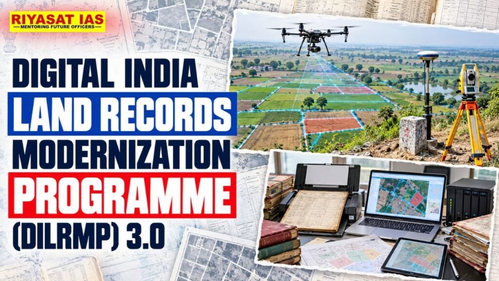
The Digital India Land Records Modernization Programme (DILRMP) 3.0 is the third phase of Government of India’s land-record modernisation programme. It was officially launched on 10 September 2026 with a sanctioned outlay of ₹565.50 crore for the period 2026–2031.
It aims to shift from individual land-record digitisation to an integrated GIS-based land management system connecting land records, cadastral maps, property registration, revenue courts and other land-related datasets. Its central aim is to create a comprehensive digital “Land Stack” for more transparent, interoperable and citizen-centric land administration.
Background of DILRMP
The modernisation of land records in India used to take place through separate initiatives for computerisation and strengthening of revenue administration.
In 2008, the Government of India integrated the Computerisation of Land Records (CLR) and Strengthening of Revenue Administration and Updating of Land Records (SRA&ULR) schemes under the National Land Records Modernization Programme (NLRMP).
In 2016, the NLRMP was brought under the Digital India programme and renamed as the Digital India Land Records Modernization Programme (DILRMP).
The previous phases focused largely on:
- Computerisation of Records of Rights
- Digitisation of cadastral maps
- Integration of registration with land records
- Modernisation of record rooms
DILRMP 3.0 seeks to build upon these components to create an integrated GIS-enabled digital land governance ecosystem.
DILRMP 3.0: Key Facts
| Particular | Details |
| Programme | Digital India Land Records Modernization Programme 3.0 |
| Period | 2026–2031 |
| Outlay | ₹565.50 crore |
| Type | Central Sector Scheme |
| Funding | 100% Central funding |
| Implementing Department | Department of Land Resources (DoLR), Ministry of Rural Development |
| Coverage | All States and Union Territories |
| Core Approach | GIS-based integrated Land Stack |
| Monitoring | Upgraded DILRMP-MIS dashboard |
| Major new feature | 14-digit Bhu-Aadhaar/ULPIN for land parcels |
The funds under the programme will be released through a phased, performance-linked mechanism and monitored using the DILRMP-MIS.
Objectives of DILRMP 3.0
DILRMP 3.0 seeks to:
- Create an integrated digital land governance system.
- Provide a unique identity to land parcels through Bhu-Aadhaar/ULPIN.
- Achieve complete digitisation and georeferencing of cadastral maps.
- Integrate land records, maps and property registration.
- Introduce paperless and end-to-end digital property registration.
- Integrate revenue courts with land records.
- Improve the accuracy and accessibility of land information.
- Reduce the need for physical visits to government offices.
- Improve access to institutional credit by increasing land information verifiability.
- Reduce land-related disputes and improve the efficiency of land administration.
- Create interoperable state-level Land Stacks that can contribute to a federated national Land Stack.
Major Features of DILRMP 3.0
Universal Bhu-Aadhaar (ULPIN)
- An important component of DILRMP 3.0 is the Universal Bhu-Aadhaar based on the Unique Land Parcel Identification Number (ULPIN).
- A 14-digit unique identification number will be assigned to every land parcel. It seeks to provide a distinct digital identity to every land parcel that can be linked with relevant land records and spatial information.
- It is expected to help with easier identification of land parcels, and the integration of ownership records, cadastral maps, registration and other land-related information.



Digitisation and Georeferencing of Cadastral Maps
- DILRMP 3.0 lays particular stress on the complete digitisation and georeferencing of cadastral maps.
- Georeferencing would enable linking cadastral maps with precise geographical coordinates. It would help with the spatial accuracy of land records and bring about a stronger linkage between textual land records and their physical parcels.
- The DILRMP system had already achieved substantial progress in digitisation and integration prior to the launch of the third phase.
Paperless Property Registration
- The programme also seeks to introduce end-to-end online and paperless property registration.
- A Registration Repository will support the digital storage and management of related documents and information.
- Under the programme, 75 high-footfall Sub-Registrar Offices (SROs) are to be upgraded to Registration Seva Kendras modelled on the lines of Passport Seva Kendras.
- The objective is to make property-registration services more efficient and citizen-friendly.
Integration of Revenue Courts with Land Records
- DILRMP 3.0 also provides for strengthening the Revenue Court Case Management System (RCCMS) and integrating it with land records.
- The integration is intended to connect land records, pending litigation and court orders, assisting authorities in tracking disputes and updating land-related information more efficiently.
- It is also expected to help reduce delays and administrative burdens associated with land disputes.
NAKSHA for Urban Land Records
- The programme also incorporates the NAKSHA initiative for urban land mapping.
- NAKSHA focuses on creating accurate GIS-based urban land records and supporting the preparation of Urban Property Cards (UrPro Cards).
- The urban component is crucial as urban land records often involve complex ownership patterns, rapidly changing land use and fragmented information across multiple agencies.
State-Level Land Stack
- A major conceptual shift under DILRMP 3.0 is the creation of state-level Land Stacks.
- Each State or Union Territory can integrate different land-related datasets and systems through APIs (Application Programming Interfaces).
- These state-level systems will serve as the building blocks of a federated National Land Stack, enabling interoperability between systems, while maintaining data ownership and control with the concerned authorities.
- Thus, DILRMP 3.0 seeks to move from isolated digital databases to an interconnected land information ecosystem.
Progress Achieved Before DILRMP 3.0
DILRMP 3.0 builds upon significant progress achieved during the earlier phases.
According to the government’s DILRMP-MIS, by 2026:
- 95.56% of villages had computerised land records.
- 59.87% of listed mapsheets/FMBs/Tippans had been digitised.
- 76.08% of targeted modern record rooms had been completed.
- 72.01% of villages had cadastral maps linked with Records of Rights.
- 95.73% of Sub-Registrar Offices had been computerised.
- 88.56% of SROs had been integrated with land records.
The government has separately stated that earlier phases had achieved near-complete computerisation of Records of Rights, substantial digitisation of cadastral maps and widespread computerisation of SROs.
Significance of DILRMP 3.0
- Reduction in Land Disputes: Integrated land records, accurate cadastral maps and digitally-linked court information can help improve the identification of land parcels and ownership-related information.
- Improved Access to Institutional Credit: Digitally accessible and verifiable land information can help make it easier for financial institutions to verify land-related information when processing agricultural and other loans.
- Greater Transparency: Paperless registration, digital records and interoperable databases can reduce the dependence on physical records and improve transparency in land administration.
- Ease of Living and Ease of Doing Business: Citizens can potentially access land-related services with fewer physical visits to revenue and registration offices. It can reduce transaction costs and simplify property-related procedures.
- Better Land Governance; Integration of textual records, spatial maps, registrations and court information can create a more comprehensive land administration system.
- DILRMP 3.0 and India’s Digital Land Governance
- The key difference between the earlier phases and DILRMP 3.0 is the shift from digitisation to integration.
- The earlier phases focused significantly on converting physical land records into digital form. The third phase seeks to connect these digital systems through a GIS-based Land Stack.
Thus, the progression can be understood as:
Computerisation → Digitisation → Integration → Interoperable Land Stack
This approach can provide a unified digital framework for managing land records, cadastral maps, property registration, revenue litigation and urban land information.
Conclusion
- DILRMP 3.0 (2026–2031) comes as the next phase of India’s land-record modernisation efforts. With a sanctioned outlay of ₹565.50 crore, the programme aims to move beyond basic digitisation and establish an integrated GIS-based Land Stack.
- Its major components are 14-digit Bhu-Aadhaar/ULPIN, georeferenced cadastral maps, paperless property registration, Registration Seva Kendras, integrated revenue courts, NAKSHA for urban land mapping and state-level Land Stacks.
- By improving the interoperability, accessibility and spatial accuracy of land information, DILRMP 3.0 is intended to strengthen land governance, reduce administrative delays, improve access to credit and make land-related public services more citizen-centric.
FAQs on DILRMP 3.0
What is DILRMP 3.0?
DILRMP 3.0 is the third phase of the Digital India Land Records Modernization Programme aimed at creating an integrated, GIS-based digital land governance system.
What is the period of DILRMP 3.0?
DILRMP 3.0 will operate from 2026 to 2031.
What is the financial outlay of DILRMP 3.0?
The programme has an approved outlay of ₹565.50 crore.
Which ministry implements DILRMP 3.0?
It is implemented by the Department of Land Resources (DoLR), Ministry of Rural Development.
Is DILRMP 3.0 a Central Sector Scheme?
Yes. DILRMP 3.0 is a Central Sector Scheme with 100% Central funding.
What is Bhu-Aadhaar or ULPIN?
Bhu-Aadhaar, based on the Unique Land Parcel Identification Number (ULPIN), is a 14-digit unique identification number assigned to land parcels under DILRMP 3.0.
What is the Land Stack under DILRMP 3.0?
The Land Stack is an integrated digital framework that connects land-related datasets and systems. States can develop their own Land Stacks through APIs, which can contribute to a federated National Land Stack.
What are Registration Seva Kendras?
Under DILRMP 3.0, 75 high-footfall Sub-Registrar Offices are planned to be upgraded to modern Registration Seva Kendras, modelled on Passport Seva Kendras.
What is the role of NAKSHA in DILRMP 3.0?
NAKSHA focuses on urban land mapping and supports the preparation of Urban Property Cards through GIS-based mapping.
What is the main difference between DILRMP and DILRMP 3.0?
Earlier phases focused substantially on computerisation and digitisation of land records. DILRMP 3.0 shifts the emphasis towards integration and interoperability through a GIS-based Land Stack.





 Ravi Raaz
 Hassan Khan
 Shadab Ali