
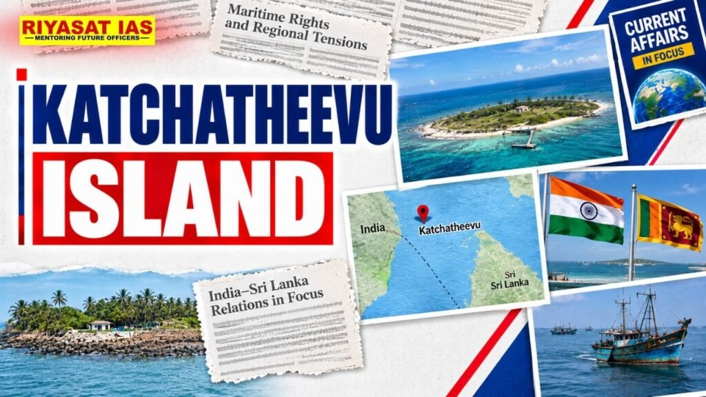
- Location: A small, uninhabited island in the Palk Strait, between India and Sri Lanka.
- Indian coast: Located northeast of Rameswaram, Tamil Nadu.
- Sri Lankan coast: Lies southwest of Delft Island, Sri Lanka.
- Nearby water body: Palk Strait, which separates India and Sri Lanka.
- Important landmark: St. Anthony’s Church, a Catholic shrine visited by pilgrims from India and Sri Lanka.
India–Sri Lanka Agreements
- 1974 Agreement: India and Sri Lanka defined the maritime boundary in the Palk Strait, placing Katchatheevu on the Sri Lankan side.
- The agreement allowed Indian fishermen and pilgrims to visit the island without travel documents or visas for the specified purposes.
- 1976 Agreement: Further demarcated maritime boundaries in the Gulf of Mannar and the Bay of Bengal and restricted fishing in each other’s maritime zones without permission.
Why Is It Important?
- Fishermen’s rights: Indian fishermen have traditionally used the surrounding waters for fishing.
- Maritime boundary: The issue is linked to the International Maritime Boundary Line (IMBL) between India and Sri Lanka.
- Bilateral relations: Arrests of Indian fishermen by Sri Lankan authorities and disputes over fishing practices remain important concerns.
- Religious significance: St. Anthony’s Church hosts an annual festival attended by devotees from both countries.

Prelims Practice Questions
Q1. Katchatheevu Island is located in which of the following water bodies?
(a) Gulf of Mannar
(b) Palk Strait
(c) Gulf of Kutch
(d) Eight Degree Channel
Answer: (b) Palk Strait
Explanation: Katchatheevu lies in the Palk Strait between India and Sri Lanka.
Get Personalised Guidance for Your UPSC Journey!
Work towards your civil services goal with individual guidance, study schedule reviews, answer-writing feedback, and preparation planning tailored to your progress.
👉 Explore One-to-One UPSC Mentorship 2027 with Riyasat IAS!



 Ravi Raaz
 Hassan Khan
 Shadab Ali