
15. Mention salient features of ‘Mission Drishti’. Discuss the imaging techniques used in the satellite launched on 3rd May 2026. Why is it being considered world’s first satellite of its kind? (Answer in 250 words)
Introduction
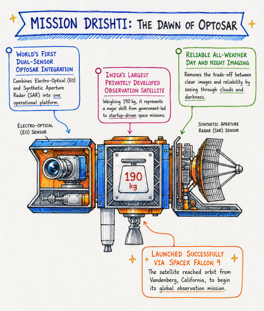
Mission Drishti, launched on 3 May 2026 aboard a SpaceX Falcon 9, is an Earth-observation satellite developed by Bengaluru-based space-tech startup GalaxEye. Weighing about 190 kg, it represents an important milestone for India’s growing private space sector and uses the innovative OptoSAR technology.
1. Salient Features
- Integrated imaging: Combines Electro-Optical (EO) and Synthetic Aperture Radar (SAR) sensors on one platform.
- All-weather capability: SAR enables observation even at night and through cloud cover, while optical imaging provides detailed visual information.
- Onboard processing: Uses edge computing and AI to process and combine data in space, enabling faster delivery of useful information.
- Wide applications: Supports border surveillance, maritime monitoring, disaster management, agriculture and infrastructure planning.
- High-resolution observation: Provides approximately 1.2–3.6 m resolution with around a four-day revisit cycle.



2. Imaging Techniques
Electro-Optical/Multispectral Imaging
- Captures reflected sunlight in different spectral bands.
- Provides clear images useful for crop monitoring, land-use mapping and infrastructure assessment.
- However, it is affected by darkness and cloud cover.
Synthetic Aperture Radar (SAR)
- Uses microwave signals to image the Earth’s surface.
- Can operate day and night and is relatively unaffected by cloud cover.
- It is therefore valuable for disaster response, surveillance and continuous monitoring.
3. Why is it World’s First of Its Kind?
Mission Drishti is considered the world’s first OptoSAR satellite because it places EO and SAR imaging capabilities on the same operational platform.
This allows the same area to be observed using both optical and radar sensors during a single pass. It reduces differences caused by time and viewing angle, enabling more consistent and actionable Earth-observation data.
Conclusion
Mission Drishti brings together the visual clarity of optical imaging and the all-weather capability of radar. Beyond its technological significance, it demonstrates how India’s private space sector can contribute to national security, disaster resilience, agriculture and sustainable development.




 Ravi Raaz
 Hassan Khan
 Shadab Ali